
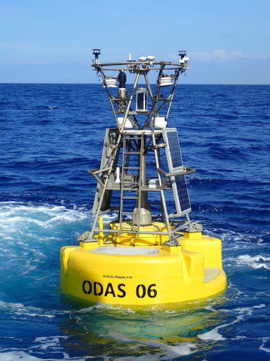
Access free weather buoy data from offshore along the French coasts.
What is a weather buoy?
Weather buoys collect data on sea weather conditions. This data is then transmitted in real time via satellite and can be accessed free of charge on the websites of the CMM (Centre for Marine Meteorology) and the Met Office.
Available data
Weather buoys collect a wide range of meteorological and oceanographic data, including :
- Wind speed and direction
- Wave height, direction, and period
- Air and water temperature
- Atmospheric pressure
- Air humidity
How to use the data?
Check current weather conditions
The first use of buoy data is, of course, direct reading. You can know real-time conditions at sea.
Boat : you’re preparing a crossing to Corsica, and the Ajaccio buoy shows you the current weather conditions.
Surf : you’re a surfer on the Atlantic coast; the Brittany and Bay of Biscay buoys indicate offshore conditions, giving you an idea of the upcoming surf on the coast.
Compare data with models
The second use is to confront theory with practice. This is, in fact, the very reason why these buoys exist. Thanks to the precision of their data at a fixed point, they allow satellite data to be validated and calibrated.
Thus, you can compare buoy readings with those generated by weather forecast models, which is a fairly simple way of measuring the reliability of a forecast.
Any questions? Let’s discuss in the comments 👇