
Here is a selection of the best free marine weather maps for sailing in the Atlantic and Mediterranean. They provide an alternative to the many weather websites you may already have tried, with access to relatively raw forecast data that can sometimes require a basic understanding of meteorology. If needed, start with our article on weather models to become familiar with the main forecasting models. You can then compare the different sources and cross-check them to build your own forecast.
Wind
Surface wind maps are particularly useful for sailors because they provide a direct view of the winds forecast by weather models.
| WeatherOnline | Atlantic – Mediterranean |
| Windfinder | Atlantic – Mediterranean |
| Windguru | Europe |
| Windy | Europe |
Pressure
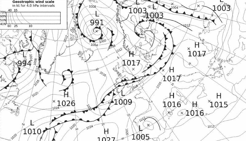
Surface and upper-air pressure charts are useful for anticipating weather systems and how they may evolve. They can, for example, help identify conditions that may lead to a mistral event.
Fronts
Weather front charts are useful for following the development and movement of weather systems.
| Met Office | Europe |
Waves
Wave forecasts are useful not only for surfers but also for sailors and recreational boaters. They can help you adapt your route to maintain acceptable sea conditions during your passage.
| Ifremer | Atlantic |
| UOA | Mediterranean |
| Windy | Europe |
Radar
Weather radar images are particularly useful for monitoring the arrival of showers and squalls in real time.
Satellite
Satellite imagery provides a broader view of the weather systems currently affecting an area.
| Sat24 | Visible – Infrared – Visible + Radar |
| Windy | Blue – Visible – Infrared |
Most of these marine weather maps contain advanced information that may seem complex at first. You may come across data such as wind speed at 850 hPa, 1000–500 mb thickness, dew point and other meteorological parameters. If you prefer simpler and more direct information for navigation, you can consult the coastal bulletins or use the local marine weather forecasts.
By using several marine weather maps together, you can compare the available forecasts and better understand the expected conditions in the Atlantic, Mediterranean and other European waters. Cross-checking different sources is often more useful than relying on a single forecast and can help you prepare your own marine weather analysis before heading out to sea.